
Drones for professional survey
Survey-grade sensors are heavy. A high-end LiDAR unit, a large-format mapping camera or a multi-sensor pod can weigh several kilograms, and a survey drone has to carry it steadily, for long enough to cover productive flight lines. Our survey drones are chosen for exactly that: payload capacity, stability and room to integrate sensors.

Payload Drone
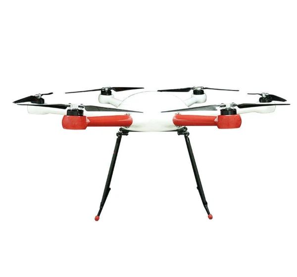
GAIA 190MP Heavy Lift Drone
1925 mm wheelbase heavy-lift industrial drone with 55 kg maximum take-off weight.
- Max take-off weight55 kg
- Wheelbase1925 mm
Payload Drone
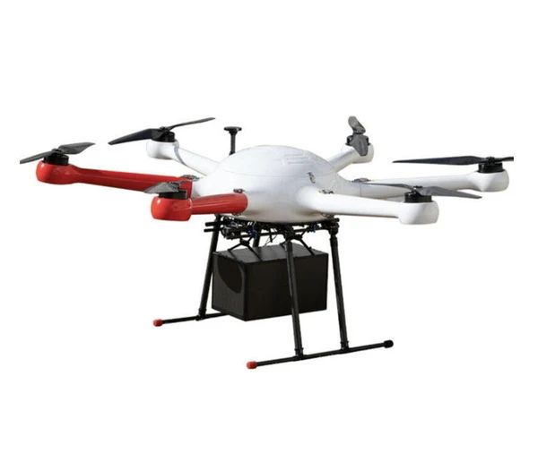
GAIA 160MP Hexacopter
Six-rotor industrial hexacopter with 20 kg payload: a versatile mid-weight platform for sensors, cargo and inspection.
- Max payload20 kg
- LayoutHexacopter (6 rotors)
The platforms
GAIA 160MP Hexacopter. A 20 kg payload in a six-rotor layout. Plenty of margin for LiDAR plus a camera, and more redundancy than a quadcopter.
GAIA 190MP. A 55 kg MTOW on a 1925 mm wheelbase. For the heaviest sensor packages, or for extending endurance with larger battery configurations.
Survey applications
- Topographic survey: terrain models and contours for design and planning
- Volumetrics: stockpiles and earthworks for mining, quarrying and construction
- Corridor mapping: roads, rail, pipelines and power lines
- Forestry: canopy height and terrain under vegetation (a LiDAR strength)
- As-built and progress surveys: construction monitoring
- Coastal and environmental monitoring: erosion and change detection
LiDAR or photogrammetry?
| LiDAR | Photogrammetry | |
|---|---|---|
| Works under vegetation | Yes, partially penetrates canopy | No, only sees the visible surface |
| Low-texture surfaces | Good | Can struggle |
| Lighting | Independent of light | Needs good light |
| Colour output | Needs a camera too | Native |
| Payload weight | Heavier | Lighter |
| Cost | Higher | Lower |
Many survey teams fly both. See drone survey solutions and mapping drones.
Integration questions to settle
- Mount and balance: the sensor's centre of gravity and the mount design
- Power: whether the sensor draws power from the aircraft
- Data: onboard recording, triggering and time synchronisation
- Positioning: GNSS/RTK/PPK workflows for survey accuracy
- Vibration: isolation for clean data
We handle payload integration through custom payload drones.