
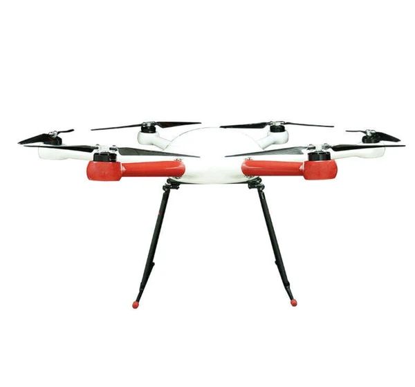
Drones across the project lifecycle
Construction projects use drones from the first site visit to the final handover:
- Pre-construction: topographic surveys and existing-conditions mapping
- Earthworks: cut-and-fill volumes and progress
- Construction: weekly progress mapping, logistics planning and stakeholder updates
- Envelope: roof and facade inspection
- Handover: as-built records
And on difficult sites, heavy-lift drones move materials where cranes are impractical.
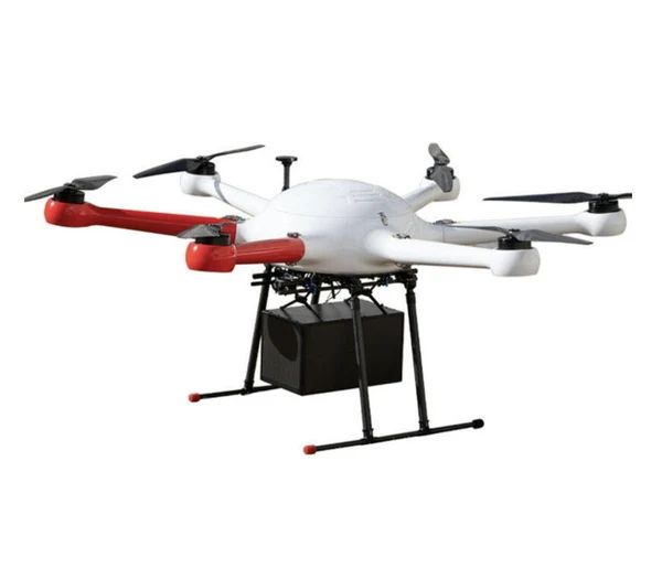
Payload Drone
GAIA 160MP Hexacopter
Six-rotor industrial hexacopter with 20 kg payload: a versatile mid-weight platform for sensors, cargo and inspection.
- Max payload20 kg
- LayoutHexacopter (6 rotors)

Payload Drone
GAIA 190MP Heavy Lift Drone
1925 mm wheelbase heavy-lift industrial drone with 55 kg maximum take-off weight.
- Max take-off weight55 kg
- Wheelbase1925 mm

Payload Drone
THEA 190MP Coaxial Octocopter
8-axis coaxial octocopter with 50 kg payload and 20-minute rated flight, for heavy industrial lifting.
- Max payload50 kg
- Flight time20 min (rated)*

Payload Drone
THEA 220MP Heavy Lift Quadcopter
Large-format quadcopter with 40 kg payload. A simple, efficient heavy lifter with fewer motors to maintain.
- Max payload40 kg
- LayoutQuadcopter
Survey and mapping
Survey platforms such as the GAIA 160MP and GAIA 190MP carry LiDAR and mapping cameras that produce:
- Topographic surveys and terrain models for design
- Volumes for earthworks and stockpiles
- Orthomosaics for site plans and progress tracking
- Point clouds for comparing as-built work against design
See survey drones and mapping drones.
Heavy lift on site
Some sites are hard to serve by crane or by hand: hillside foundations, rooftops in dense streets, towers and remote infrastructure. Heavy-lift drones such as the THEA 190MP (50 kg) and THEA 220MP (40 kg) move tools, fixings and materials in repeated short shuttles. This saves labour and keeps workers off dangerous carry routes.
Inspection
Roofs, facades, chimneys, bridges and tall structures can be inspected from the air rather than by scaffolding or rope access, with zoom and thermal payloads for detail and heat loss.
Planning drone work on a construction site
- Site rules: integrate with the site's safety management, permits and exclusion zones
- Over-people restrictions: plan flights and lifts away from workers and the public
- Cranes: coordinate with crane operations
- Urban airspace: check for controlled airspace near airports and restrictions in cities
- Data: set standard outputs and formats your project team uses