Mining was one of the first heavy industries to adopt drones at scale, and for good reason. Mines are vast, constantly changing, often remote and full of hazards. Drones measure, move and inspect with fewer people exposed to risk. This article explains the main mining applications and what makes them work.
1. Stockpile and volume surveys
The most established mining use case. Instead of surveyors walking on unstable stockpiles, drones capture photogrammetry or LiDAR data from which software calculates volumes.
Benefits: - Fewer people on stockpiles - More frequent measurement for better inventory control - Complete surface models rather than sampled points
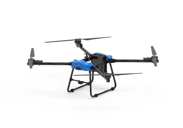
Platform: GAIA 160MP with a mapping camera or LiDAR. See survey drones.
2. Pit and bench mapping
Up-to-date terrain models support:
- Mine planning and design compliance
- Highwall and slope monitoring
- Haul-road design and maintenance
- Blast design and post-blast analysis
3. Site logistics
Large sites waste time moving small items: a part to a pit, a tool to a conveyor, samples to the lab. Heavy-lift drones cut vehicle trips:
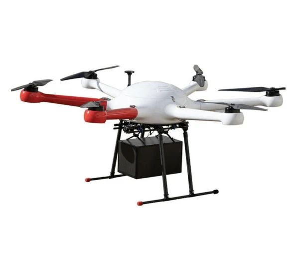
- Short heavy shuttles: THEA 190MP (50 kg)
- Longer routes and high altitude: D50 (50 kg, 10 km, rated to 5000 m)
4. Infrastructure inspection
- Conveyors and transfer points
- Crushers and processing plant
- Stacks and structures
- Power lines on site
- Water infrastructure
Drones reduce the need for access equipment and permits for routine visual and thermal inspection. See inspection drones.
5. Tailings and environmental monitoring
Regular mapping of tailings storage facilities, including beach geometry, pond level and freeboard, plus dust sources, water bodies and rehabilitation progress. Consistent repeat surveys reveal change early.
Site-specific challenges
Altitude
Many mines sit at high altitude, especially in the Andes and other mountain ranges. Thin air reduces lift, so payload and endurance fall. The D50's 5000 m altitude rating suits these environments, but still plan reduced loads.
Dust
Dust enters motors, gimbals and connectors. Clean frequently, protect sensors, and check protection ratings.
Temperature
Desert heat and mountain cold both affect batteries. Manage charging temperatures and storage.
Heavy machinery and blasting
Integrate flights with mine traffic management, blasting schedules and exclusion zones.
Electromagnetic interference
Large electrical equipment can affect compasses and links.
Building a mine-site drone programme
- Start with volumetrics. It is proven, measurable and quick to show value.
- Write procedures that fit with the mine's safety management system
- Train pilots and site supervisors
- Integrate data with planning, reconciliation and GIS
- Add logistics and inspection once survey is routine
- Measure value: survey time, accuracy, vehicle trips avoided, exposure reduced
Frequently asked questions
What are drones used for in mining?
Stockpile volumes, pit mapping, site logistics, infrastructure inspection, tailings monitoring and blast support.
Can drones fly at high-altitude mines?
Yes, if rated for altitude. Expect reduced payload and endurance.
How accurate are drone stockpile surveys?
With proper ground control or RTK/PPK and checkpoints, accurate enough for inventory and reconciliation at many operations.
Do mines need special approval to fly drones?
Aviation rules apply as for any commercial operation, plus the mine's own permits and procedures.