A drone that can carry a payload 10 km opens up cargo routes, long patrols and wide-area searches that short-range drones cannot do. But range on a spec sheet and range in legal, safe operation are two different things. This guide explains what limits range, how long-range payload drones are planned, and what beyond-visual-line-of-sight (BVLOS) approval involves.
What limits range
Energy
Range is mostly limited by battery energy relative to the aircraft's weight and drag. Heavier payloads, wind, cold and altitude all reduce range. Always keep reserves for the return trip and contingencies.
Link
The command-and-control and video link must reach the aircraft. Terrain, buildings, vegetation and interference shorten link range. Antenna placement and link redundancy matter.
Regulation
In most countries you must keep the drone within visual line of sight (VLOS) unless you hold a specific approval. That limit, not the battery, is usually the binding one.
Long-range payload drones in our range
| Model | Payload | Rated range | Best for |
|---|---|---|---|
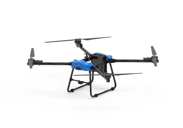
| D50 Transport Drone | 50 kg | 10 km | Cargo routes, high altitude (rated to 5000 m) |
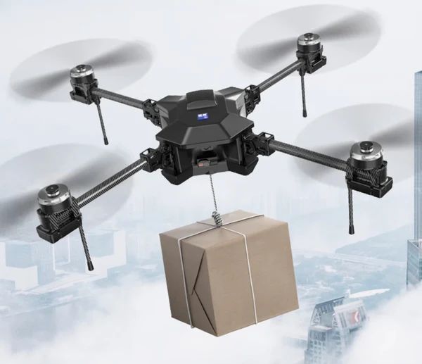
| MX4-10 | 5 kg | 10 km | Search, rescue, patrol |
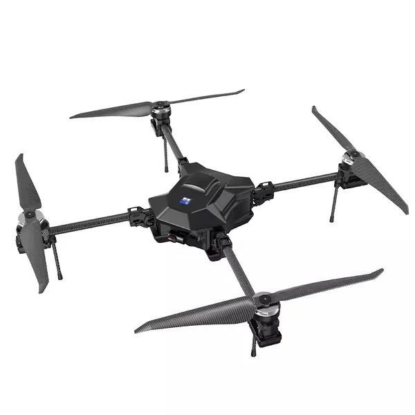
| SY800 | 2–10 kg | 10 km | Light cargo, patrol, inspection |
Rated ranges are manufacturer figures under good conditions.
VLOS, EVLOS and BVLOS
- VLOS: the pilot can see the drone directly
- EVLOS (extended VLOS): observers positioned along the route keep the drone in sight, where permitted
- BVLOS: nobody keeps direct sight of the drone, and safety relies on technology and procedures
What BVLOS approval typically requires
Regulators assess risk. In Europe and many other places, the SORA (Specific Operations Risk Assessment) method, developed by JARUS, structures that assessment. Typical elements:
Ground risk
- Population density under the route
- Mitigations: route selection, parachutes, emergency procedures
Air risk
- Other airspace users along the route
- Mitigations: airspace choice, altitude limits, detect-and-avoid, notices to other users
Technical
- Aircraft reliability and maintenance records
- Link performance, redundancy and lost-link behaviour
- Navigation accuracy and geofencing
Operational
- Crew training and competence
- Procedures for normal and emergency operations
- Weather limits
In the US, BVLOS currently needs a waiver or exemption from the FAA. In the EU, it is handled in the specific category under EASA rules via national authorities. Elsewhere, see your country page.
Planning a long-range route
- Survey the route: terrain, obstacles, power lines, settlements, airspace
- Model the link: line of sight between antennas, and dead zones
- Calculate energy: payload, distance, wind, temperature and altitude, plus reserves
- Plan contingencies: alternative landing sites along the route
- Configure failsafes: lost-link and low-battery behaviour
- Brief the crew and set weather go/no-go criteria
- Start within VLOS or EVLOS, gather data, then apply for BVLOS with evidence
High-altitude routes
At altitude, thin air reduces rotor lift and battery performance in the cold. The D50's 5000 m rating makes it suitable for mountain routes, but payload and range will be lower than at sea level. See cargo drone technology.
Use cases
- Remote resupply: mountain stations, islands, border posts
- Pipeline and power line patrol: long linear assets
- Search and rescue: wide-area searches
- Agricultural estates: large properties
- Security: long perimeters
Frequently asked questions
How far can a payload drone fly?
Our long-range models are rated for 10 km. Real range depends on payload and conditions, and legal range depends on approvals.
Is BVLOS legal?
Only with specific approval in most countries.
What is SORA?
The Specific Operations Risk Assessment, a structured method for assessing and approving drone operations in the specific category.
What happens if the link is lost on a long flight?
The aircraft follows its pre-configured failsafe, such as return-to-home, hover or landing. Plan this for every route.