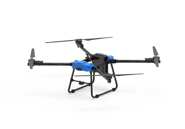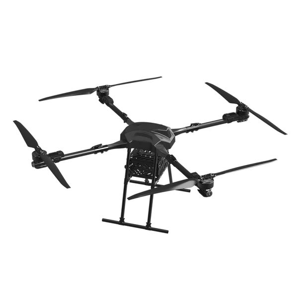
When disaster strikes, the problems are the same everywhere: responders cannot see the full picture, cannot reach everyone who needs help, and cannot communicate with people who are cut off. Drones address all three. This article explains how emergency response drones are used and how agencies prepare to use them well.
Three capabilities that matter in an emergency
Situational awareness
Live aerial video gives incident commanders the overview they need to decide where to send resources. Aerial mapping after the event supports damage assessment and recovery planning.
Delivery
When roads, bridges or power are down, drones deliver: - Medical supplies and medicines - Water and food - Radios and batteries - Flotation and rescue equipment - Tools and equipment for response teams
Communication and lighting
Loudspeakers broadcast instructions to people who are cut off or in crowds. Searchlights illuminate scenes at night.
Scenarios
Floods
- Locate people on roofs and vehicles
- Drop flotation and supplies
- Guide rescue boats
- Map flood extent for planning
Earthquakes and landslides
- Survey damage and identify safe access routes
- Deliver medical supplies to cut-off communities
- Monitor unstable slopes without exposing people
Wildfires
- Give crews situational imagery
- Deliver equipment to hard-to-reach crew positions
- Carry extinguishing payloads on suitable platforms such as the P50
- Coordinate strictly with firefighting aircraft. Unauthorised drones near fires have grounded water-bombing aircraft and put lives at risk.
Major accidents
- Light the scene and give commanders an overview
- Broadcast instructions to bystanders
- Document the scene
Infrastructure failures
- Inspect damaged bridges, dams and power lines from a safe distance
- Deliver radios and power banks to isolated groups
Matching platforms to needs
| Need | Platform |
|---|---|
| Heavy supply delivery | P50 (50 kg), THEA 200MP (70 kg) |
| Long or high-altitude routes | D50 (10 km, rated to 5000 m) |
| Rescue drops, messaging, lighting | MX4-10, SY800 |
| Mapping and damage assessment | GAIA 160MP with mapping sensors |
Readiness: prepare before the disaster
An emergency is the worst time to set up a drone capability. Prepare now:
- Agreements and approvals. Work with aviation authorities on emergency operating procedures and temporary airspace arrangements.
- Trained, rostered crews, with regular exercises in realistic conditions
- Ready kits: charged batteries (rotated to stay healthy), packed payloads, spare aircraft and field charging (generators)
- Integration with incident command and other air operations
- Data sharing procedures with partner agencies
- Logistics: vehicles to deploy crews and kit to the scene
Lessons operators often learn
- Battery logistics become the bottleneck in extended operations. Plan field charging.
- Communications in disaster zones may be degraded. Plan for local links and data transfer.
- Weather during disasters is often bad. Know your aircraft's limits.
- Airspace congestion: many aircraft and drones may want to operate. Coordination is essential.
Frequently asked questions
What are emergency response drones used for?
Situational awareness, mapping, supply delivery, rescue drops, messaging and lighting during disasters and major incidents.
Can drones help fight wildfires?
Yes, in support roles with imagery, equipment delivery and, on suitable platforms, extinguishing payloads, coordinated with firefighting aircraft.
Who can fly drones in a disaster zone?
Typically only authorised responders under agreed procedures. Temporary airspace restrictions often apply.
How much can an emergency drone deliver?
In our range, up to 70 kg per flight (THEA 200MP), with the P50 and D50 carrying 50 kg.