"Drone survey" covers many different jobs, from a quick stockpile count to an engineering-grade topographic survey of a highway corridor. Each needs a different combination of sensor, platform, accuracy workflow and output. This guide maps the main survey types to the right solution.
The main types of drone survey
Topographic surveys
Ground surfaces, contours and features for design and planning. Typical solution: photogrammetry on open sites, LiDAR under vegetation, with RTK/PPK and ground control for accuracy.
Volumetric surveys
Stockpiles, cut and fill, landfill and quarry volumes. Typical solution: photogrammetry or LiDAR with consistent repeat surveys. See mining.
Corridor surveys
Roads, railways, pipelines, power lines and rivers: long, narrow areas. Typical solution: LiDAR and camera, with long-endurance platforms and careful positioning. Longer routes may need BVLOS approval. See long range payload drones.
Forestry surveys
Tree heights, canopy structure and terrain beneath. Typical solution: LiDAR, which can partially penetrate canopy gaps to reach the ground.
As-built and progress surveys
Comparing what was built with the design, and tracking progress. Typical solution: regular photogrammetry with point-cloud comparison. See construction and surveying.
Agricultural surveys
Crop health, drainage and field variability. Typical solution: multispectral cameras. See agriculture.
Choosing the sensor
| Need | Sensor |
|---|---|
| Detailed imagery, open ground | High-resolution mapping camera |
| Ground under vegetation | LiDAR |
| Low-texture surfaces | LiDAR |
| Crop or vegetation health | Multispectral |
| Heat loss and moisture | Thermal |
| Everything at once | Multi-sensor pod (heavier) |
Choosing the platform
Survey sensors range from light cameras to heavy LiDAR systems and multi-sensor pods. The platform must carry them with margin and with enough endurance for productive flight lines:
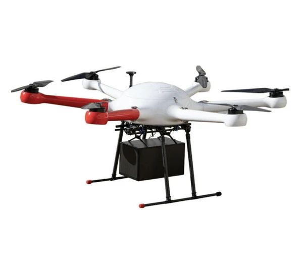
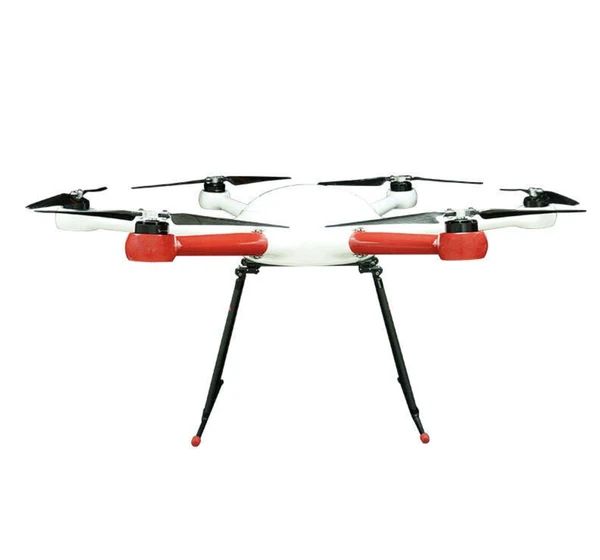
- GAIA 160MP: 20 kg payload hexacopter. Most survey payloads, with redundancy.
- GAIA 190MP: 55 kg MTOW and 1925 mm wheelbase. The heaviest sensors or extended endurance.
Integration matters: mount, power, triggering, data recording and time synchronisation. See custom payload drones.
Accuracy workflows
- Ground control points (GCPs): surveyed targets on the ground
- RTK: real-time corrections to the drone's position
- PPK: corrections applied after the flight
- Checkpoints: independent points to verify accuracy
The right combination depends on accuracy requirements, site conditions and client specifications. Always verify with checkpoints.
Deliverables
Agree deliverables before flying:
- Coordinate system and vertical datum
- File formats (point cloud, raster, CAD)
- Resolution and point density
- Accuracy report
- Contours, sections or volumes as required
Building a survey capability
- Start with the jobs you do most, and choose sensors for those
- Choose a platform with headroom for future sensors
- Invest in processing software and training. Processing is half the job.
- Establish QA procedures with checkpoints and standard reports
- Get the right approvals for your platform weight and operations
Read our drone mapping guide for the flight-to-deliverable workflow.
Frequently asked questions
Can drone surveys replace traditional land surveys?
For many tasks, yes, or they complement them. Some work, like boundary surveys, still needs ground methods and licensed surveyors.
Which is the best drone for LiDAR survey?
One that carries your LiDAR with margin and endurance. The GAIA 160MP suits most systems, and the GAIA 190MP the heaviest.
How dense should a LiDAR point cloud be?
It depends on the application. Corridor and engineering surveys typically need higher density than broad-area mapping.
Do survey drones need approvals?
Yes, as commercial operations. Heavier platforms may need approvals beyond basic rules.