Drone mapping turns overlapping images or laser scans into measurable maps and 3D models. It has transformed surveying, construction, mining, agriculture and environmental work. This guide walks through the full workflow and the decisions that determine quality.
What drone mapping produces
- Orthomosaic: a geometrically corrected aerial image you can measure on
- Digital surface model (DSM): heights of all surfaces, including buildings and trees
- Digital terrain model (DTM): the bare earth
- Point cloud: millions of 3D points
- 3D mesh: a textured model for visualisation
- Contours and volumes: derived engineering outputs
- Index maps: for example vegetation indices from multispectral data
Photogrammetry or LiDAR?
| Photogrammetry | LiDAR | |
|---|---|---|
| How it works | Matches features across overlapping photos | Measures distances with laser pulses |
| Under vegetation | Sees the canopy only | Can reach the ground through gaps |
| Low-texture surfaces | Struggles (water, snow, uniform surfaces) | Good |
| Light | Needs good light | Independent of light |
| Colour | Native | Needs a camera too |
| Payload weight | Lighter | Heavier |
| Cost | Lower | Higher |
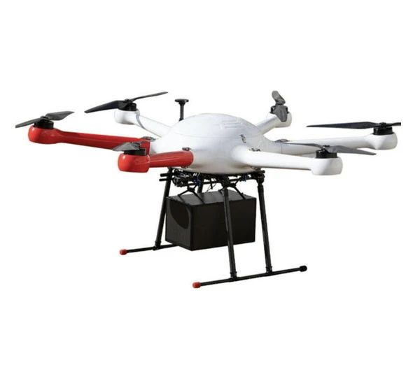
Many professional teams use both. Heavier LiDAR systems need platforms like the GAIA 160MP or GAIA 190MP.
Key concepts
Ground sample distance (GSD)
The real-world size of one image pixel. Smaller GSD means more detail. GSD depends on camera sensor, lens and flight altitude: fly lower for finer GSD, at the cost of more flights.
Overlap
Photogrammetry needs high forward and side overlap between images so software can match features. Typical starting points are high overlaps (for example around 70–80%), increased for complex terrain or vegetation.
Accuracy: relative vs absolute
- Relative accuracy: how well the map measures internally
- Absolute accuracy: how well it sits in real-world coordinates
Absolute accuracy needs ground control points (GCPs), RTK or PPK positioning, or a combination.
The workflow
1. Define requirements
Area, accuracy, GSD, outputs, deadline and coordinate system.
2. Choose sensor and platform
Camera or LiDAR, and a platform with payload capacity and endurance to suit.
3. Plan the mission
- Altitude for target GSD
- Overlap and flight-line pattern (grid, double grid for 3D)
- Speed suited to shutter and motion blur
- Terrain following on slopes
- Battery count for the area
4. Check the site and airspace
Obstacles, take-off and landing area, airspace restrictions, permissions and people on site.
5. Ground control
Place and survey GCPs if you are using them, and set up base stations for RTK/PPK.
6. Fly
Run the missions, monitor for gaps, and check image quality on site.
7. Process
Photogrammetry or LiDAR software produces point clouds, surfaces and orthomosaics.
8. Quality check
Check against checkpoints (independently surveyed points not used in processing).
9. Deliver
In the formats and coordinate systems the client needs.
Common mistakes
- Too little overlap, which causes holes and distortions
- Flying too fast, which causes motion blur
- Ignoring terrain: constant altitude over hills gives inconsistent GSD
- No checkpoints, so accuracy is unknown
- Poor light: harsh shadows or low sun degrade photogrammetry
- Wrong coordinate system in deliverables
Mapping applications
- Construction: topography, progress and as-built. See construction and surveying.
- Mining: stockpiles, pits and tailings. See mining.
- Agriculture: crop health and drainage. See agriculture.
- Environment: coastlines, forests and change detection
- Insurance and disasters: damage assessment
Frequently asked questions
How accurate is drone mapping?
With good planning, ground control or RTK/PPK, and checkpoints, drone mapping can meet many survey specifications. Accuracy depends on the whole workflow.
How large an area can a drone map in a day?
It depends on GSD, overlap, sensor, platform endurance and battery count.
Do I need LiDAR?
For mapping under vegetation or low-texture surfaces, LiDAR helps. For open ground, photogrammetry is often enough.
What software is used?
Dedicated photogrammetry and LiDAR processing packages. Choose based on your outputs and sensor.