Drone inspection is one of the most established commercial drone services. It replaces rope access, scaffolding, elevated work platforms and helicopters for a wide range of assets. But the value is not in the flying. It is in consistent data that leads to good maintenance decisions. This guide covers how inspection programmes and service businesses are built.
What drones inspect
| Asset | Typical findings |
|---|---|
| Power lines | Damaged insulators, hot joints, broken strands, vegetation encroachment |
| Substations | Thermal anomalies on equipment |
| Wind turbines | Leading-edge erosion, cracks, lightning damage |
| Solar farms | Failed cells, strings and connections (thermal) |
| Pipelines | Leaks, encroachment, ground movement |
| Telecom masts | Antenna alignment, corrosion, loose fixings |
| Bridges | Cracks, spalling, corrosion, bearing condition |
| Roofs and facades | Damage, water ingress, heat loss |
| Industrial plants | Stacks, tanks, flare structures (with approvals) |
Sensors
- Zoom (RGB) cameras: close detail from a safe distance
- Thermal cameras: temperature anomalies such as electrical faults, solar defects and heat loss
- Dual gimbals: thermal and zoom in one flight
- LiDAR: geometry and vegetation clearance
- Specialist sensors: gas detection, ultrasonic thickness (contact), corona cameras
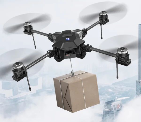
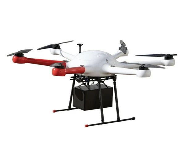
Heavy dual-sensor gimbals and LiDAR need platforms with payload margin, such as the GAIA 160MP (20 kg) or the GAIA 190MP. For visual patrols, the SY800 has a built-in 3-axis camera.
Building a programme: five principles
1. Define the outcome
What defects matter? What image resolution reveals them? What report format do engineers need? Start from the decision, then work back to the data.
2. Standardise the flight
Use the same positions, angles, distances and settings every time. Standard flights let you compare over time, which is where inspection data becomes really valuable.
3. Respect the asset environment
- Electromagnetic interference near energised equipment affects compasses and links
- Rotor wash near fragile structures
- Exclusion zones and permits on industrial sites
- Wind effects around structures
4. Manage data rigorously
- Consistent naming (asset, component, date)
- Geotagging and location records
- Storage and backup
- Quality checks before leaving site, because a re-flight is expensive
- Defect tagging and severity scoring
5. Close the loop
Inspections only create value when findings become work orders. Integrate reports with the client's maintenance systems.
Running an inspection service business
Pricing models
- Per asset (per tower, per turbine, per site)
- Per day for complex or variable work
- Programme contracts for recurring inspections
What clients want
- Safety: your procedures, training and insurance
- Consistency: the same quality every time
- Speed: quick turnaround of reports
- Clarity: reports that engineers can act on
Credentials
- Aviation approvals for your operations
- Industry safety training such as utility site access
- Insurance at levels clients require
- Case studies and sample reports
Common pitfalls
- Flying without a clear definition of required resolution
- Inconsistent flights that make comparison impossible
- Data overload: thousands of images and no analysis
- Underestimating site access and permit time
- Ignoring interference near energised equipment
Frequently asked questions
What does a drone inspection cost?
It varies by asset type, location, access and reporting requirements. Programme contracts usually reduce per-asset cost.
Is thermal or zoom more important?
It depends on the defects. Electrical and solar faults need thermal. Physical damage needs zoom. Many programmes use both.
How close can inspection drones get to power lines?
Utilities set minimum approach distances and procedures. Follow them strictly.
How often should assets be inspected?
That depends on the asset, risk and regulation. Drones make more frequent inspection affordable.